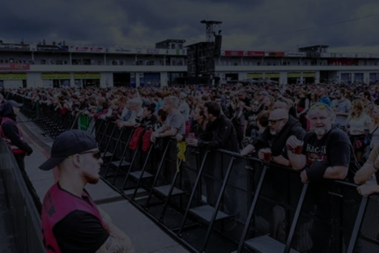
VALUE FOR EVENT ORGANIZERS
AI models analyze historical attendance data , weather, combined with vendor layouts and operational simulations to give best the best ability to optimize site design before gates open.
Organisers optimise layouts before gates open; monitor crowds with live heatmap dashboard and see exactly how each decision affects your ROI.
Attendees skip the lines with AI‑driven wayfinding and receive offers based on your interests and location. Calm, localised alerts keep you safe.
EMS have real-time triage and navigation, plus predictive alerts about high‑risk clusters like heat stress or crowd crush to be able to deliver faster, safer care.
Promoters and Sponsors can control foot traffic around activation zones, push geo‑targeted promotions and track impressions and dwell times for demonstrable ROI.
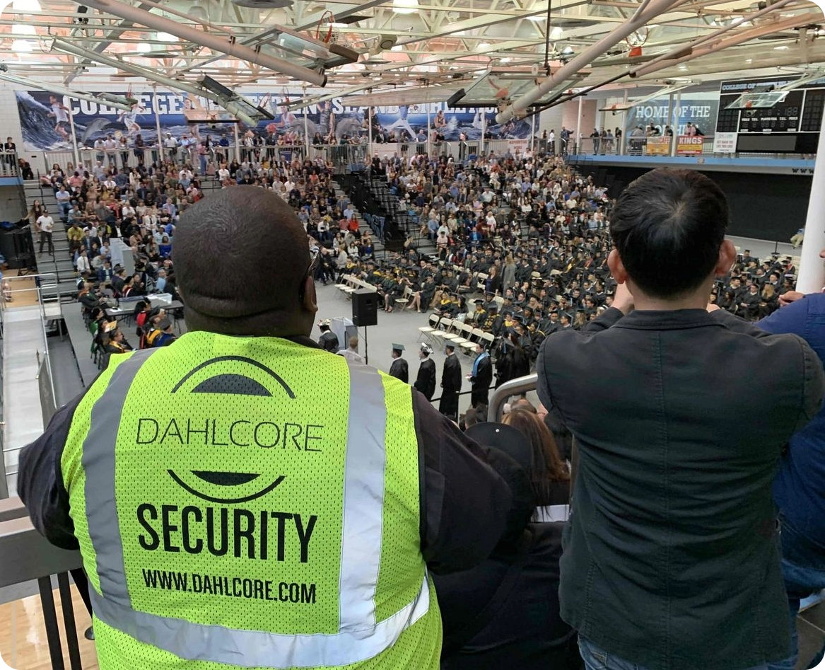
Security are armed with a one-view heatmap dashboard which fuses all camera feeds, attendee heatmapping, cluster alarms to indicate an incident with analytics that spot unusual patterns, auto‑generated geofences with targeted messaging to prevent panic and guide evacuations.
AICrowdCare turns every second and every location into actionable intelligence, making your events safer, smarter and more profitable.
VALUE FOR GUESTS
Less time waiting equals more time enjoying the event. AI wayfinding directs guests to the nearest washrooms, food stalls or vendors with the shortest lines.
Attendees receive Personalised recommendations, messages, and offers based on their stated interests, location and real‑time crowd conditions.
Attendees will be calmer during emergencies as they receive real-time integrated alerts that give clear, localised instructions to prevent panic.Guests will have higher satisfaction and spend.
By spending less time searching and queuing, people have more time to discover and more capacity to spend, resulting in higher satisfaction, longer dwell times and increased revenue.
This generates higher satisfaction, longer dwell times, and a greater spending per head.

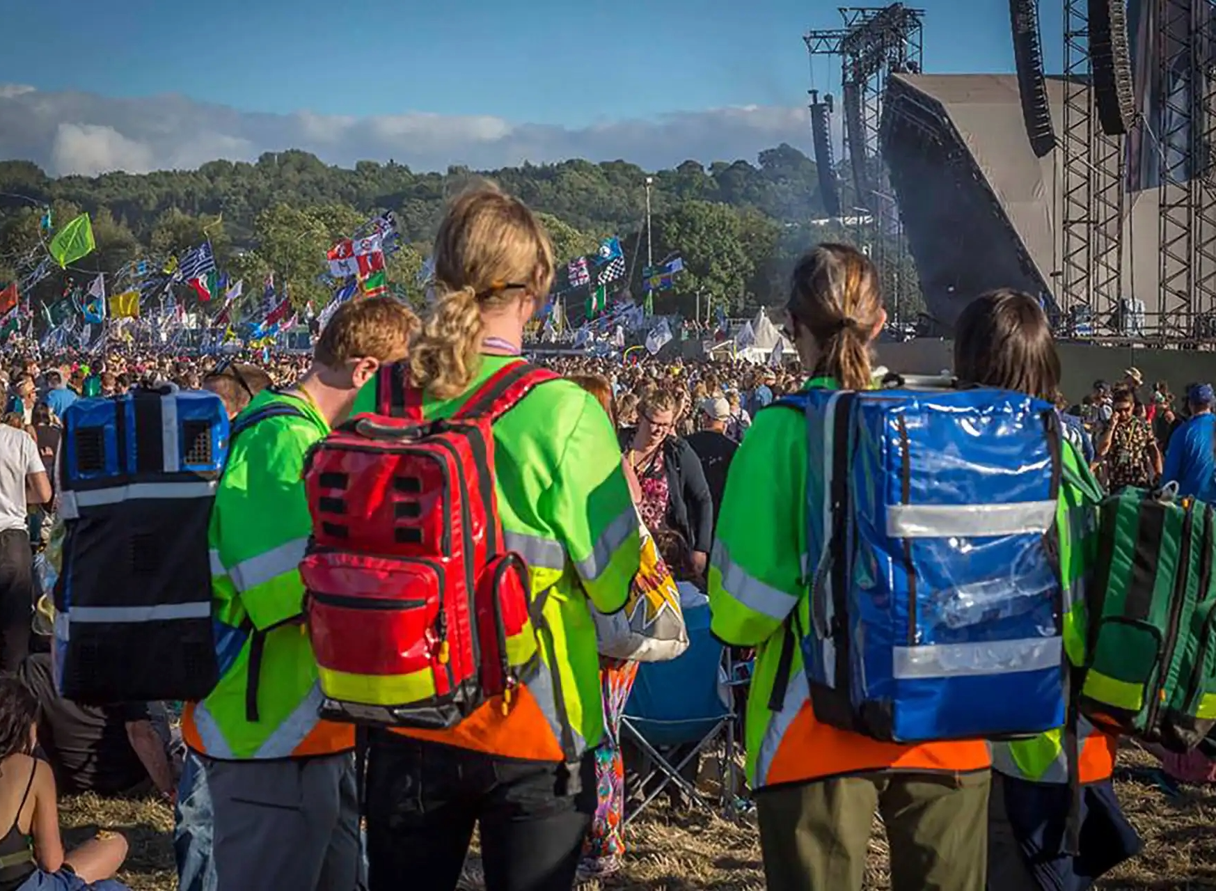
THE ADVANTAGES FOR EMS
We deliver faster response when seconds matter. We have calculated that real‑time triage coupled with live AR navigation cuts response times and get crews to patients faster, safer and with the right resources.
The modelling can predict incidents before they happen. Machine‑learning models flag high‑risk clusters such as heat stress, crowd crush and intoxication before calls come in.
Optimal routing and severity tagging is displayed in Smart Glasses to the responding team. GPS‑linked responders receive turn‑by‑turn navigation and severity tags instantly, enabling smarter decision making on the move.
Data‑driven performance is integrated to create an analytical log that registers every second saved and links the time saved directly to operational ROI.
Better outcomes overall as EMS teams deliver faster care and reduce the frequency of severe outcomes.
VERIFIABLE VALUE FOR PROMOTERS AND SPONSERS
Maximise brand exposure by understanding and manipulating crowd to flow help position activations where guests might naturally pass, increasing foot traffic to sponsor zones.
Balance congestion and control traffic to ensure high visibility of sponsor assets without creating bottlenecks.
Deliver geo‑targeted promotions with opted in push notifications that are sent when attendees meet specific criteria or when engagement an area of potential highest.
Prove ROI with automated reports that track impressions, dwell times, and redemption rates, turning brand spend into measurable performance metrics.
Greener events with a smarter flow of people which reduces idle time, cuts waste and improves sustainability.
Data‑backed value for every sponsorship and promoter dollar is supported by hard data.
Ensure data-backed value for every sponsorship and promoter dollar.
MAKE SECURITY SMARTER AND STRONGER
DETECT TROUBLE BEFORE IT STARTS
We unify surveillance in a single view that brings all of the live data and runs anomaly detection checks to spot threats early.
The platform can predict and prevent crises with crowd‑density analytics which flag unusual flow patterns before they become emergencies.
Security will arrive better prepared when they arrive on the scene due to incident‑severity triage reports generated enroute which will help them make safer, more informed decisions.
We create automated geofencing and messaging rules the will create pre‑defined geofences and targeted alerts if there is an extreme threat, or spin up ad hoc zones to notify only those affected and prevent panic.
With these tools, event organizers lower their risk and builds trust as fewer critical incidents reduce liability and improve public confidence.